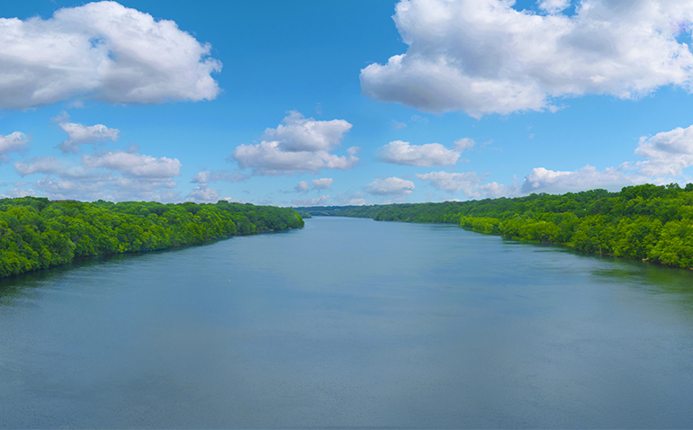
Mississippi River Flooding
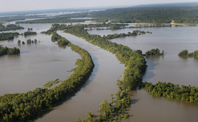
We think the Corps should operate the ORCC to increase the discharge as the river rises — and that Congress should authorize this. Now. This would lower flood crests, make floods shorter, and reduce the risk of levee failure — and a course change. It would also reduce batture and backwater flooding and the resulting economic and environmental damage on some 1.5 million acres in Mississippi and Louisiana. Time to change the flood control plan – before it’s too late.
Featured Work
Mississippi River Natchez Gauge – Record Days Over Flood Stage UPDATED July 7, 2019
2019 will be a record for the last 80 years, possibly in modern times, for flood stage water in the Lower Mississippi River.
BPF’s View on the Yazoo Backwater Pumps
The Pumps will pour water out of the Delta’s boot over the levee at Vicksburg onto people below. They will make flooding higher and longer inside the levee. Landowners in the Delta outside the levee will benefit. Landowners inside the levee will suffer. The pumps won’t increase the discharge to the Gulf. They just pass the flood downriver onto someone else. That’s the history of other divisive Corps flood control projects. That’s why the river is full now.
A Deep Dive Into the Lower Mississippi River
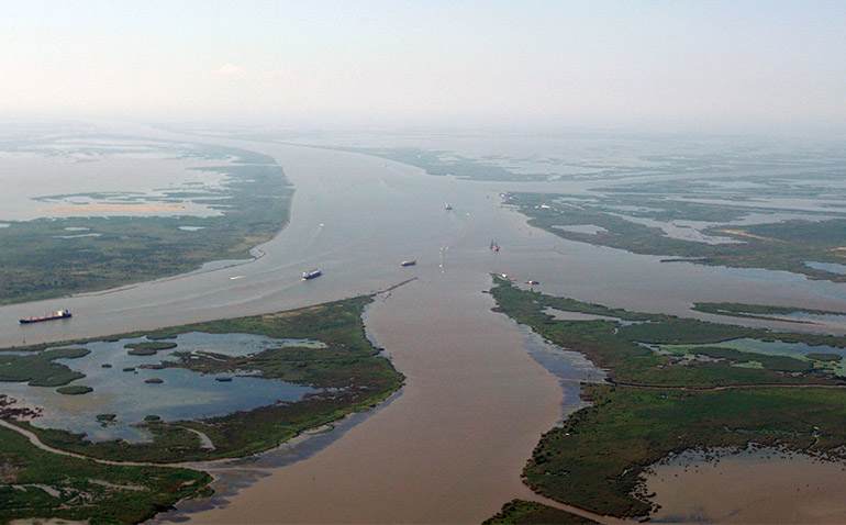
Much of the Mississippi between Natchez and Venice, LA is below the surface of the Gulf of Mexico. A large portion of the river from Donaldsonville to Venice is below the BOTTOM of the entrance leading to the Gulf of Mexico.
The Mississippi River Is Backing Up
You might guess flood stages would move from north to south in the Mid-to-Lower Mississippi River as the waters travel north to south to reach the Gulf of Mexico. You’d be wrong.
MS River in Danger of Being Captured by the Atchafalaya River
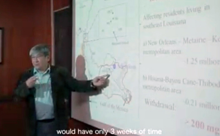
Dr. Y. Jun Xu, world-renowned hydrologist of Louisiana State University, explains how South Louisiana is on the verge of one of the worlds most detrimental natural disasters in history.
The River Stands Still
Potential energy, the energy of dropping from a height, is the main driver of MSR waters to the Gulf.


