Mississippi River Flooding
We think the Corps should operate the ORCC to increase the discharge as the river rises — and that Congress should authorize this. Now. This would lower flood crests, make floods shorter, and reduce the risk of levee failure — and a course change. It would also reduce batture and backwater flooding and the resulting economic and environmental damage on some 1.5 million acres in Mississippi and Louisiana. Time to change the flood control plan – before it’s too late.
Featured Work
Black Swans and Mudberg

Bigger Pie Forum Projects

The Kemper County Clean Lignite Project

Consumer Advocate

Einstein Was Wrong
Not Albert, his son Hans. As far as we know, Albert was right about his General Theory of Relativity and other natural laws. Hans was not as famous as his father. But he was the world expert on river sediments. He advised the Corps of Engineers (Corps) on the design of the Old River Control Complex (ORCC) in the 1950s.
Yazoo Delta Backwater Flooding
Backwater flooding happens when the Mississippi River is higher (about 43’ at Vicksburg) than the Yazoo River and blocks its discharge. It takes less rain to raise and keep the Mississippi above 43’ than it used to. (See More Flood for Less Rain.) So backwater flooding and batture flooding inside the levees are more frequent and longer — over three times longer since 2015. Why? What happened to cause a step change in flooding in 2015?
More Flood for Less Rain
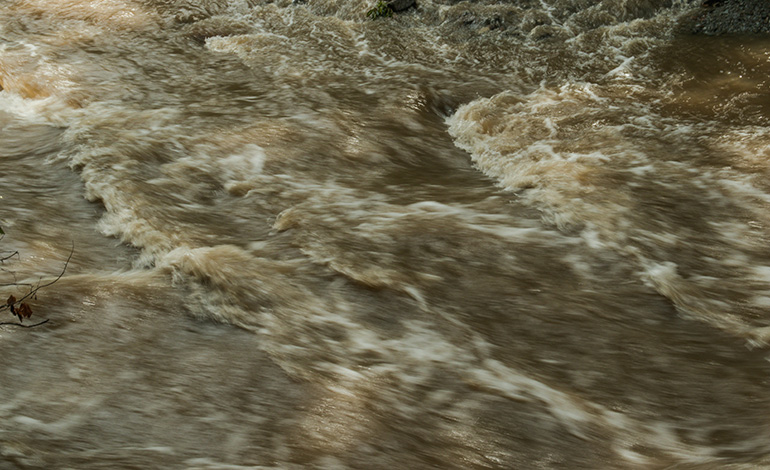
I don’t know who said it first, but the Mississippi River is flooding more often, longer, and higher for the same or less rain. There are many reasons for this. But the main one is the US Army Corps of Engineers (Corps). It is in charge of flood control on the lower Mississippi River (below Cairo, Illinois). Congress gave it that job after the great 1927 flood disaster — to prevent a repeat.
Wistful Not Thinking
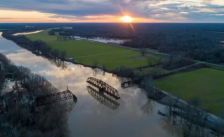
The Mississippi River is going to change course (avulse) to the Atchafalaya at the Old River Control Complex (ORCC) above Baton Rouge and discharge to the Gulf near Morgan City, LA. Gravity will send it down this shorter, steeper path in a big flood — maybe the next one. Course changes happen about every 1,000 years when the channel clogs up with silt, flow slows, and floods get higher. The last one happened around the 12th century.
Cut To the Chase
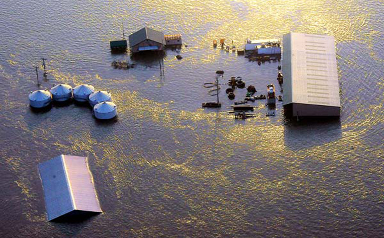
The Corps Old River Control Complex (ORCC) near Louisiana’s Angola Prison just south of the Mississippi line makes flooding worse inside the levees. The flooding affects about a half million acres in Mississippi and Louisiana owned by over 500 plaintiffs who sued the Corps in 2019 for taking their properties. I’m one of those plaintiffs. I quit writing about floods when I became one. I’m starting again. I can’t wait on the courts.
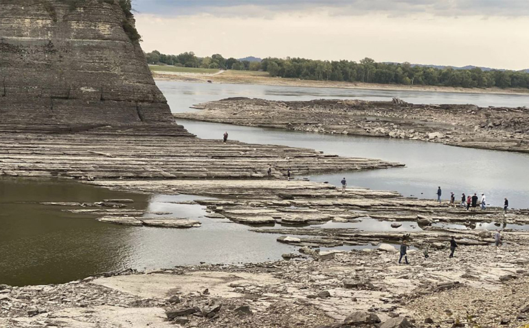
Stuck in the Mud on the Mighty Mississippi
Barge shipping on the river, vital to the U.S. economy and especially for midwestern farmers, is grinding to slow motion. Extra costs are growing by the hour. The result will be an inflationary bump to food prices and probably other goods.